The 2025 Ocean Data Gaps Report - Ocean Central

The 2025 Ocean Data Gaps Report
Data gaps are limiting progress on some of the most urgent challenges facing the ocean, from pollution and biodiversity loss to ecosystem recovery.
This year’s UN Ocean Conference brings together global leaders to accelerate ocean action. Real progress depends on closing the information gaps that limit our collective understanding of how the ocean is changing.
"Understanding the gaps in ocean data is just as important as understanding the data we have."
- Professor Carlos Duarte
Without reliable data, policymakers, industries, and conservationists cannot track change, measure impact, or focus efforts where they matter most. Emerging technologies are beginning to change that, enabling scientists to map and monitor marine life and ecosystems in ways that were not possible just a few years ago.
Understanding where the biggest ocean data gaps remain and what is needed to close them is essential for anyone working to secure a healthier future for the ocean.
The insights in this report reflect 18 months of work developing Ocean Central, an ambitious platform shaped by the science of Professor Carlos Duarte and designed to communicate ocean health and identify the levers needed to restore it within one human generation.
Key Takeaways
We are missing critical data on where ocean life is disappearing, how fast ecosystems are changing, and which human activities are causing the most harm.
- Marine Life: We lack comprehensive, up-to-date data on where species are located and how their populations are changing over time. Sparse historical records also make it difficult to interpret extinction risk trends with confidence.
- Protected Spaces: Local and informally managed marine areas often go unrecorded for specific countries, limiting visibility into global conservation coverage.
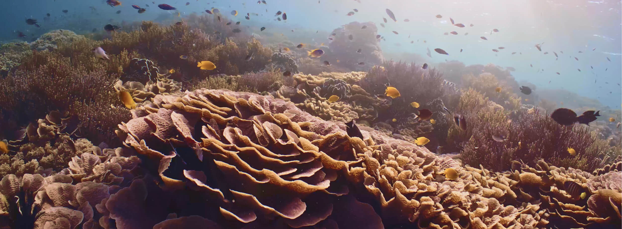
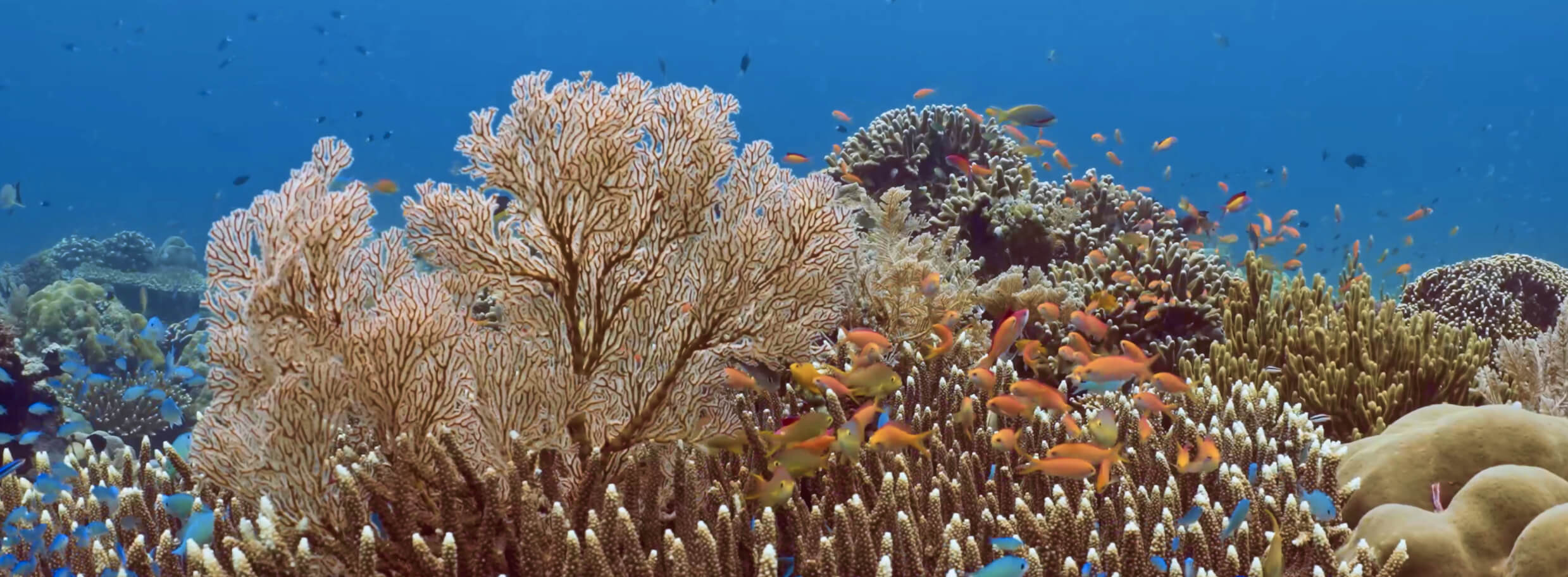
- Ecosystems: Coral reefs, seagrasses, salt marshes, and algal forests lack extensive historical data, making it difficult to measure loss or design effective restoration.
- Harvesting & Extraction: We have little data on the scale and impacts of seaweed and algae harvesting, seabed mining, or sand and gravel extraction.
- Pollution: Gaps persist in noise, oil, wastewater, and thermal pollution data, making it challenging to target action or assess impacts.
- Climate: We lack quality data on climate impacts on the deep ocean and remote regions, including impacts on marine life, ecosystem health, and the ocean’s ability to absorb carbon.
Protect Marine Life
Protect Marine Life
-
Current
Status -
Current
Trend -
Geographic
Coverage -
Global
Goals
-
Fish
-
Mammals
-
Reptiles
-
Birds
- Data Gap
- Partial Data Gap
- Sufficient Data
Where gaps remain:
- Species locations: We lack comprehensive, up-to-date data on where many marine species are found, especially as habitats shift under the pressures of climate change.
- Population trends: Current datasets are incomplete for marine mammals and seabirds, limiting our ability to track how populations are changing over time.
- Interpreting extinction risk: While species assessments are now more frequent and systematic, historical data prior to 2010 is sparse, making long-term extinction trends difficult to interpret. The apparent rise in extinction risk may reflect improved monitoring rather than actual ecological decline, complicating efforts to measure progress or regression over time.
Where data is strong: The IUCN Red List serves as a rich reference for marine life data. The list includes historical data on species at risk of human-caused extinction, the top threats to marine species, and global population trends.
Why it matters: Marine life is essential to ocean health, biodiversity, climate regulation, and human livelihoods. Yet without reliable data, it is impossible to track species abundance, detect emerging risks, or guide action. For example, consider the Kunming-Montreal Framework. The global target aims to halt human-driven extinctions by 2030 and increase species abundance by 2050. Knowing where marine species are declining, recovering, or at risk helps policymakers, conservationists, and researchers focus efforts where they are needed most.
In 2023, the World Wildlife Fund and its science partners combined satellite tracking, photo identification, and decades of research to map migratory whale routes, focusing on the risks and opportunities in the Eastern Pacific Ocean. Their analysis reveals how climate change, ship traffic, and fishing pressure intersect with whale migration, highlighting priority areas for conservation and action.
Protect Spaces
Protect Spaces
-
Current
Status -
Current
Trend -
Geographic
Coverage -
Global
Goals
-
MPAs
-
OECMs
- Data Gap
- Partial Data Gap
- Sufficient Data
Where gaps remain: Datasets on official marine protected areas (MPAs) and other effective area-based conservation measures (OECMs) often miss locally managed or unofficial protected areas. These blind spots limit the global view of where protections are in place.
Where data is strong: We can track the expansion of protected marine and coastal areas, with data going back to 2020, as well as the share of critical marine ecosystems that fall within these boundaries.
Why it matters: MPAs and OECMs help safeguard biodiversity, support ecosystem recovery, and strengthen ocean resilience. Tracking both designated protected areas and other conservation measures shows how much progress the world is making toward protecting critical habitats and meeting global targets.
In some countries, including India and much of China, marine areas may have conservation protections without being formally classified as marine protected areas. Large language models can help researchers uncover locally managed and lesser-known protected areas, offering a more complete and accurate map of global conservation efforts.
Restore Ecosystems
Restore Ecosystems
-
Current
Status -
Current
Trend -
Geographic
Coverage -
Global
Goals
-
Mangroves
-
Salt Marshes
-
Seagrass
-
Coral Reefs
-
Algal Forests
-
Tidal Flats
-
Oyster Reefs
- Data Gap
- Partial Data Gap
- Sufficient Data
Where gaps remain: We are missing historical data for seagrass, salt marshes, coral reefs, algal forests, and seamounts. In some instances, such as with seagrass, we only have a snapshot of data from 2016. Without a clear understanding of how these ecosystems are changing over time, it is difficult to set restoration targets. Emerging tools, such as Clay and IBM’s TerraMind, offer the ability to retroactively track ecosystems’ rate of change using AI and Earth observation data.
One promising example comes from Dr. Shannon Klein, a research scientist at King Abdullah University of Science and Technology. The team at KAUST is developing a model to reconstruct how coral reefs formed in the past — essentially mapping where and how corals likely thrived and how they can persist in the future. “This effort aims to provide more reliable reference points for restoration practitioners, helping them design interventions that not only reflect historical distributions but also account for future pressures and increase the likelihood of success,” she explains.
Where data is strong: Mangroves have the most robust data. We can track changes in their coverage since the early 2000s and measure how fast they are growing or shrinking based on the most recent data. But there are still gaps in global maps. Understanding where mangroves are bouncing back and where they are most at risk can inform protection opportunities.
Why it matters: Healthy marine ecosystems protect coastlines, store carbon, and support biodiversity and local livelihoods. The Kunming-Montreal Global Biodiversity Framework calls for expanding the size of these ecosystems by 2050. But to track progress, we need reliable data. While we have a recent snapshot of coral reefs, algal forests, and seagrass, only mangroves, salt marshes, and tidal flats have strong historical records.
In The Bahamas, researchers mapped the world’s largest seagrass ecosystem by combining satellite imagery, diver surveys, and movement data from an unlikely ally: tiger sharks. Scientists equipped the apex predators, known for their strong affinity with seagrass meadows, with equipment to validate and expand remote sensing estimates, offering a new model for teaming up with marine life to accelerate discovery.
Harvest Wisely

Harvest Wisely
-
Current
Status -
Current
Trend -
Geographic
Coverage -
Global
Goals
-
Fish & Seafood
-
Ocean Mining Activities
-
Seaweed & Algae
-
Oil & Gas
-
Sand & Gravel
- Data Gap
- Partial Data Gap
- Sufficient Data
Where gaps remain:
- Seaweed and algae: We lack reliable data on the global scale of seaweed and algae harvesting, its environmental impacts, and the availability of alternative resources. This limits our ability to assess sustainability, protect biodiversity, and support the use of seaweed as an eco-friendly substitute for agricultural products, biofuels, and more.
- Minerals and metals:. We are missing data on the location, scope, and intensity of deep-sea mining operations, as well as on viable alternatives such as mineral recycling. Without it, we cannot identify ecological risks, monitor cumulative impacts, or build science-based strategies to minimize harm from seabed extraction.
- Sand and gravel: There is little visibility into the scale and impact of sand and gravel extraction from the ocean. This makes it difficult to assess long-term consequences or to weigh the benefits of alternative materials such as recycled construction waste or manufactured sand.
Where data is strong: Fish and seafood harvesting data is among the most comprehensive. The RAM Legacy Stock Assessment Database tracks commercially fished populations globally, with records dating back to 1970. This data highlights where overfishing persists and where harvest patterns must shift to allow recovery. We can also see zones under the greatest pressure and areas where populations are stable or growing, offering opportunities for responsible fishing.
Why it matters: Sustainable harvesting is essential for restoring ocean abundance. Reliable data helps ensure that marine resources can support future generations while protecting vulnerable species. It also guides decisions on where and when to harvest, allowing fish stocks and other species time to recover.
In 2025, SeafoodAI introduced CrabScan360, an AI-powered tool designed to automate crab measurement, sorting, and data recording. This technology captures detailed attributes of each crab, such as weight and legal status, and uses the data to support compliance with sustainability standards and reduce waste. The company plans to expand the technology to other seafood markets such as tuna, salmon, and shrimp.
Reduce Pollution
Reduce Pollution
-
Current
Status -
Current
Trend -
Geographic
Coverage -
Global
Goals
-
Plastic
-
Nutrients
-
Light
-
CO2
-
Noise
-
Oil
-
Wastewater
-
Thermal
-
Radiactive
- Data Gap
- Partial Data Gap
- Sufficient Data
Where gaps remain:
- Noise pollution: Measuring underwater noise and its effects on marine life remains inconsistent across regions. A lack of baseline data makes it hard to evaluate the extent of noise pollution on marine life and mitigation measures required to minimize impact in marine ecosystems.
- Wastewater: Wastewater data collection is essential to improving treatment processes and reducing the impact on marine habitats and species, but publicly available data is limited and does not allow targeted action.
- Oil pollution: There are gaps in data on the location or extent of spillage or leakage of petroleum products in the ocean and the sources of oil spills and leaks. Missing data on oil pollution impedes our ability to understand its long-term effects on marine life and ecosystems and target remedial action.
- Thermal: We are missing data on the sources of thermal pollution, how it has changed over time, and its global impacts. Limitations in this data make it difficult to assess how temperature changes from industrial discharges affect marine life and ecosystems.
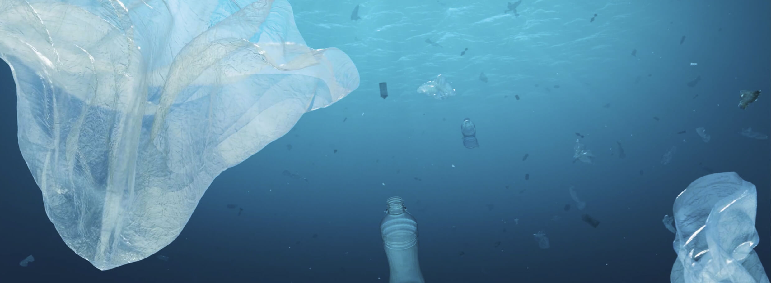
Where data is strong: Data on ocean pollution is strongest for plastics, light, and nutrient pollution. We know the sources of plastic waste and can track its accumulation over time. A global atlas updated in 2024 maps artificial light at night across the seas, highlighting its well-known impact on sea turtles and the emerging threat of “ocean darkening” for phytoplankton. And while we can track dead zones caused by excess nutrients such as nitrogen and phosphorus, gaps remain in tracing the exact sources and volumes of nutrient pollution, limiting targeted solutions.
Why it matters: Pollution affects everything from fish populations and marine mammals to coral reefs, seagrasses, and mangroves. Without reliable data, efforts to reduce plastic waste, regulate industrial discharge, and prevent agricultural runoff lack precision and impact. A clearer picture of ocean pollution is essential for restoring biodiversity, sustaining fisheries, and protecting the health of marine ecosystems. It also ensures that conservation strategies address root causes rather than symptoms.
In 2025, researchers at Monash University in Australia developed an AI-powered system to rapidly detect and analyze microplastic contamination in marine environments. Utilizing machine learning algorithms, the system can process thousands of samples in seconds, identifying unique chemical signatures of plastics and polymers. This advancement enables widespread surveying of microplastics, providing crucial data to inform policy decisions and environmental strategies.
Mitigate Climate Change
Mitigate Climate Change
-
Current
Status -
Current
Trend -
Geographic
Coverage -
Global
Goals
-
Temperature
-
Salinity
-
Acidity
-
Sea Level
-
Sea Ice
- Data Gap
- Partial Data Gap
- Sufficient Data
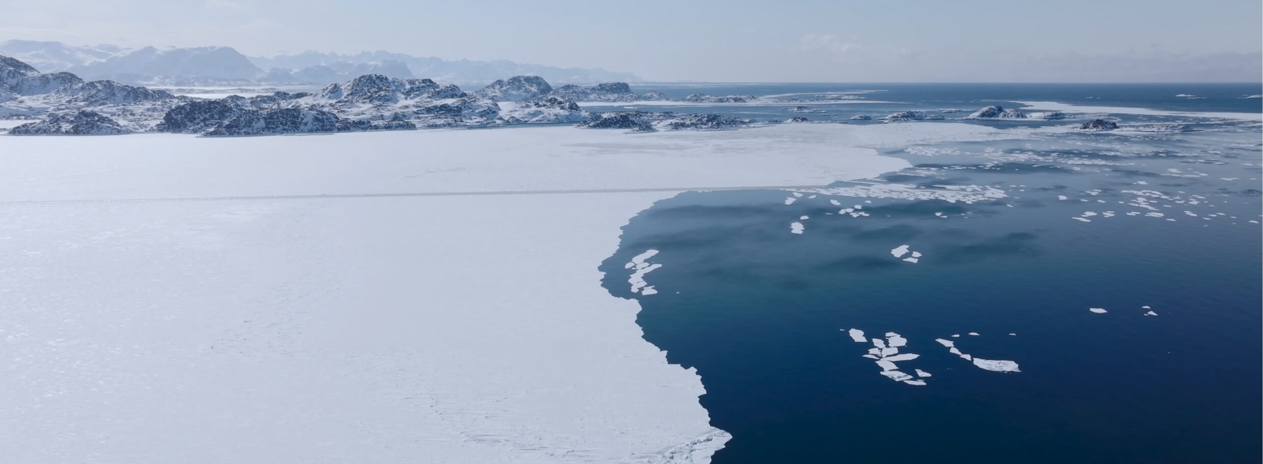
Where gaps remain: We lack quality data on climate impacts on the deep ocean and remote regions, including impacts on marine life, ecosystem health, and the ocean’s ability to absorb carbon.
Where data is strong: We can track global temperature trends against the Paris Agreement’s 1.5°C and 2°C targets and monitor long-term changes in salinity, acidity, sea level, and sea ice. Our Track section offers interactive maps that show where these changes are unfolding.
Why it matters: The ocean is a critical buffer against climate change, regulating global temperatures, supporting marine ecosystems, and preserving biodiversity. Tracking shifts in sea surface temperature, salinity, acidity, sea level, and sea ice loss reveals where change is accelerating, and where intervention is most critical.
AI and autonomous field technology can offer a clearer view of ocean change. For instance, future iterations of Google DeepMind’s NeuralGCM could help scientists pinpoint where ocean change is accelerating, while groups like the British Antarctic Survey are closing data gaps in remote regions.
Why This Matters
How Missing Data Affects Decision-Makers
Efforts to protect and restore the ocean depend on access to accurate, timely data. Without it, decision-makers are operating without the information they need to act effectively.
Policymakers lack the information needed to set clear targets for protection and restoration because we do not fully understand how much has been lost. Businesses struggle to make the case for sustainable investments because we have yet to quantify the full value of the ocean’s ecosystem services. Conservationists cannot deploy interventions at scale because we do not know where the most polluted or degraded areas are.
Even scientific research is constrained. “Stronger and more accessible ocean data would be transformative for early-career researchers, who often have the creativity and drive to pursue bold, out-of-the-box ideas but lack the foundational information needed to act on them,” says Dr. Klein.
Here is what better data would help unlock:
- Clearer targets: With more complete baselines, policymakers could set science-based goals for marine protection and recovery.
- Stronger business cases: Valuing ecosystem services would allow investors to better assess risks and returns for ocean-related investments.
- Smarter interventions: Knowing where threats are concentrated would enable faster, more targeted action.
- Faster innovation: Open datasets would empower scientists, technologists, and entrepreneurs to test solutions and move from idea to impact.
- Cross-sector collaboration: Shared data makes it easier for scientists to partner with industry and policy leaders on applied solutions.
A Call for Ocean Data Collaboration
All ocean data gaps are urgent in some way.
– Dr. Shannon Klein
There remains much to uncover about the ocean, even with the latest technological advancements. Closing gaps in ocean data is one of the clearest opportunities to accelerate action. From policymakers drafting regulations to businesses seeking to meet sustainability targets and conservationists designing marine protections, every stakeholder depends on reliable, accessible information.
“All ocean data gaps are urgent in some way,” says Dr. Klein. “The urgency isn’t just academic—without better data, we risk losing ecosystems before we even understand what they provide or how to support their recovery.” This is especially true in the deep ocean, where vast, unexplored environments may hold keys to biodiversity, resilience, and sustainable use.
Wave created Ocean Central to convene the best available data and drive action to regenerate the ocean by 2050. The platform tracks progress on the return of vital species and the recovery of vibrant ecosystems. By aggregating and analyzing data, and collaborating to fill critical gaps, Ocean Central aims to chart the course to a healthier ocean.
As the global ocean community prepares to gather at the UN Ocean Conference, this report can serve as a reference point to advance discussion about the importance of better data and the partnerships required to support it. The future of ocean recovery hinges on filling these gaps.
Written by Ocean Central Staff
Data analysis by Peter Sherman and Mason Grimshaw